

There should be some showers, but most of this week will be nice across Massachusetts — though expect mugginess to creep back into the air. Here’s our latest forecast.
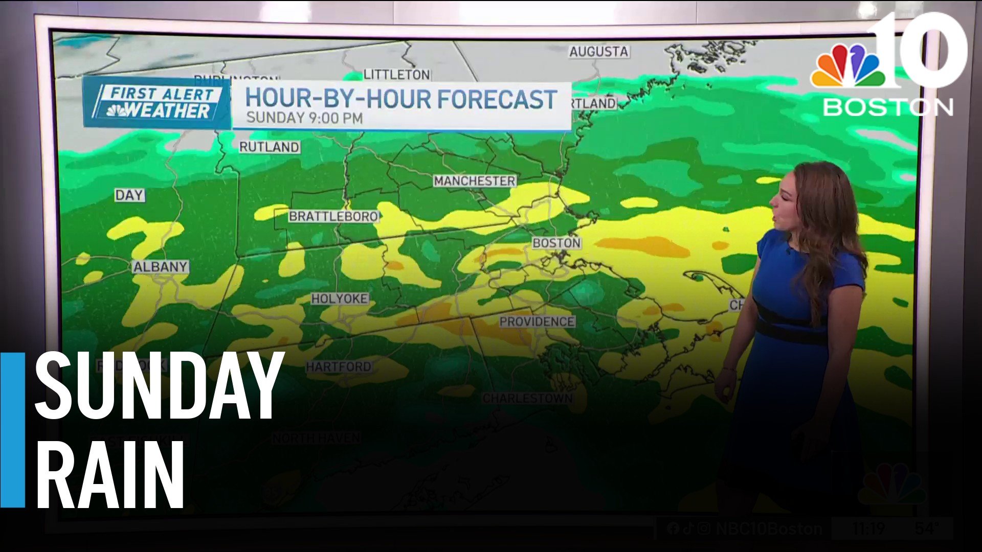
A First Alert was in place on Sunday, with widespread rain developing. Flash flood warnings were issued in Massachusetts, Rhode Island and Connecticut.
See severe weather alerts for your area here and explore interactive weather radar below.
Stream NBC10 Boston news for free, 24/7, wherever you are.
 WATCH HERE
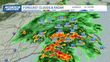
Heavy pockets of rain are possible late morning to early afternoon, especially along Buzzards Bay and the South Shore.
A flood watch is in place through the afternoon for Boston and much of the area to its south.
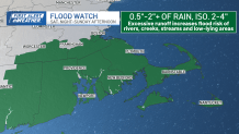
Most spots pick up around 0.5-1.5 inches of rain, but narrow bands could produce 2-4 inches in just a few hours, creating a risk for flash flooding, especially from Providence, Rhode Island, into interior southeastern Massachusetts. There is also the potential for a few rumbles of thunder as the heaviest rain moves through.
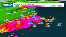
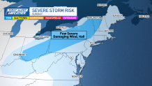
Heavy rain gradually winds down from west to east between about 2-6 p.m., leaving behind a few light showers in spots.
Weather
A few showers may linger into Monday morning, especially across eastern Massachusetts and Rhode Island, before much drier and more comfortable air takes over.
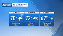
Monday and Tuesday bring seasonable highs in the low to mid 70s with noticeably lower humidity.
Summer makes a brief comeback Wednesday into the end of the week as winds turn southerly, pushing highs back into the upper 70s with increasing humidity.
